Resources
May 9, 2016
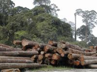
Incorrect Data and Fallacious Policy
January 4, 2015
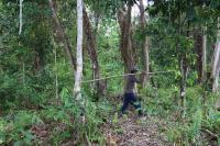
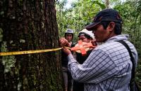
Weeding Risk
September 4, 2014
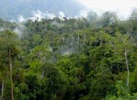
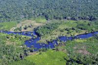
8 Percent of World's Remaining Pristine Forests Degraded Since 2000
March 3, 2014
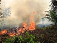
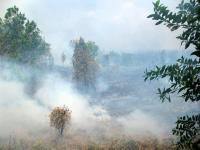
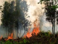
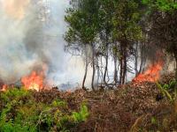
Indonesian Fires Bring More Haze to Southeast Asia

February 20, 2014
9 Maps that Explain the World's Forests

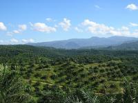
November 12, 2012
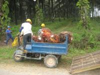
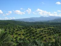
The False Choice Between Palm Oil and Indonesian Forests