Resources
July 18, 2017
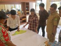
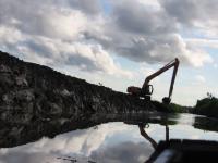
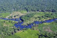
Land and Social (In)justice in South Sumatra
![](/sites/default/files/styles/150_tall/public/oil_palm_plantation.jpg?itok=IkYJ7Nlq)
June 21, 2017
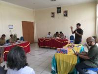
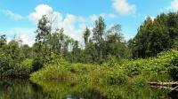
Can “One Map” Solve Indonesia’s Land Tenure Woes?
![](/sites/default/files/styles/150_tall/public/adi_and_gita.jpg?itok=UZHI6uYa)
June 19, 2017
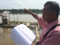
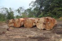
Conflicting Maps Leave Some Indonesian Farmers Landless
![](/sites/default/files/styles/150_tall/public/saad-musi-river.jpg?itok=wpbWkagl)
May 17, 2017
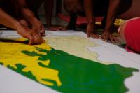
A One True Map, Not a No-one's Map
December 30, 2014
Breaking the Logjam
September 18, 2014
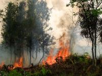
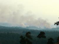
Fires Spread Across Indonesia as Parliament Approves Haze Treaty
![Forest fires in West Kalimantan, Indonesia. Photo credit: Billy Gabriel/Flickr](/sites/default/files/styles/150_tall/public/forest_fires_in_west_kalimantan_indonesia_by_billy_gabriel_flickr.jpg?itok=4frupsKM)
April 10, 2014
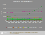
CAIT - Country Greenhouse Gas Emissions Data
![](/sites/default/files/styles/150_tall/public/emissions_by_gas_total_co2_excluding_lucf.png?itok=Jj1vfmiH)
February 20, 2014
9 Maps that Explain the World's Forests
![Global Forest Watch is an online forest monitoring system created by the World Resources Institute and more than 40 partners. Photo credit: Marco Simola/CIFOR](/sites/default/files/styles/150_tall/public/forest_measurement.jpg?itok=Gv4Zpv6A)
June 2, 1989