Resources
September 21, 2020
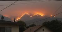
6 Graphics Explain the Climate Feedback Loop Fueling US Fires

November 19, 2019
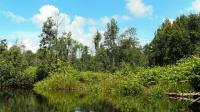
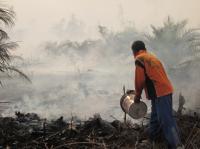
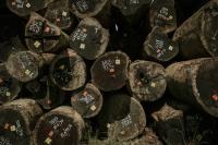
Beyond Swidden Agriculture: Rethinking Approach to Fires
September 19, 2019
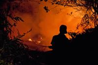
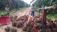
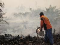
Fires, Farmers and Climate Crisis

February 20, 2018
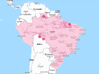
Places to Watch: Curating Data-Driven Stories for Action
January 1, 2018
Toratima Coffee and Valuation of Environmental Services

May 17, 2017
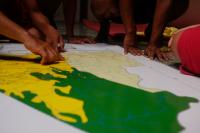
A One True Map, Not a No-one's Map
February 16, 2017
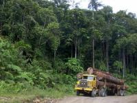
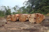
Exploring Indonesia's Long and Complicated History of Forest Fires
April 22, 2016
Reviewing Indonesia’s Emission Commitment