Resources

April 30, 2014
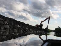
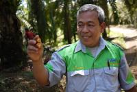
Forests and Landscapes in Indonesia
October 8, 2013
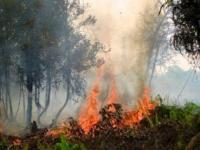
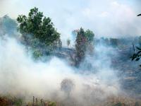
ASEAN Leaders Can Act to Reduce Fires and Haze