Resources
April 5, 2023
Preparing Against Hidden Hunger by Optimizing Local Food


February 10, 2020
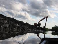
The Causes and Effects of Soil Erosion, and How to Prevent It

February 20, 2018
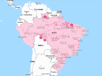
Places to Watch: Curating Data-Driven Stories for Action
May 17, 2017
A One True Map, Not a No-one's Map

February 20, 2014
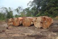
9 Maps that Explain the World's Forests