Resources
January 30, 2021
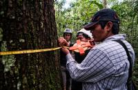
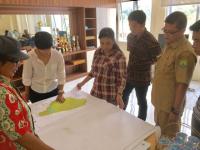
Improving the Lives of Indigenous Communities through Mapping
February 20, 2018
Places to Watch: Curating Data-Driven Stories for Action
July 18, 2017
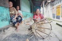
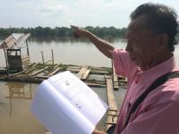
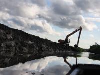
Land and Social (In)justice in South Sumatra

June 21, 2017
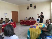
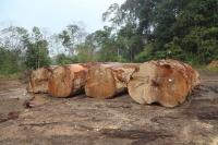
Can “One Map” Solve Indonesia’s Land Tenure Woes?
June 19, 2017
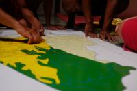
Conflicting Maps Leave Some Indonesian Farmers Landless
May 17, 2017
A One True Map, Not a No-one's Map
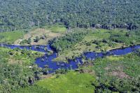
February 20, 2014
9 Maps that Explain the World's Forests