Resources
758 Resources for


April 22, 2024
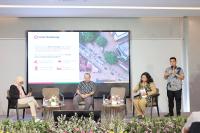
Building Indonesia's Food Resilience 2030

March 22, 2024
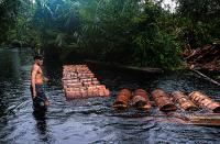
Ensuring Justice for Water Carriers


February 12, 2024
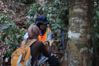
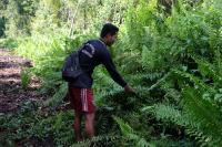
Wood Identification
February 5, 2024
Conserving Ridge to Reef in Southwest Papua
February 2, 2024
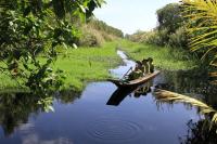
Learning How to Prevent Peat Fires from U Minh Ha National Park
February 2, 2024
The Jewel of Southern Thailand: Toh Daeng Peat Swamp Forest

February 2, 2024
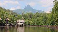
People and Peatland Management Complexity in Permata Village